LYNNWOOD, Wash., February 11, 2021 – According to the National Weather Service, the first storm on Thursday looks to bring a few inches of snow to areas south of Seattle, while Seattle north will see an inch or less. The second storm has the potential to bring widespread, heavy snow across the area Friday night into Saturday. Cold and locally windy conditions will persist through the period as well.
Keep up with the latest forecasts and statements regarding these coming events.


Tips for driving in icy conditions
- Accelerate and decelerate slowly. Don’t try to get moving in a hurry. And take time to slow down for a stoplight.
- Drive slowly. Everything takes longer on ice-covered roads.
- Increase following distance. The normal dry pavement following distance of three to four seconds should be increased to eight to ten seconds. This increased margin of safety will provide the longer distance needed if you have to stop.
- Know your brakes. If you have anti-lock brakes (ABS) and need to slow down quickly, press hard on the pedal-it’s normal for the pedal to vibrate a bit when the ABS is activated.
- Don’t stop if you can avoid it. If you can slow down enough to keep rolling until a traffic light changes, do it.
- Don’t power up hills. Try to get a little inertia going before you reach the hill and let that inertia carry you to the top. As you reach the crest of the hill, reduce your speed and proceed down hill as slowly as possible.
- Don’t stop going up a hill. Get some inertia going on a flat roadway before you take on the hill.
Winter Storm Preparation
- Make sure to have emergency supplies on hand at home and in your vehicle, such as extra batteries, flashlights, food and blankets
- Have a battery-powered radio ready to go
- Charge cell phones and mobile devices in case the power goes out
- Track and report outages, check status and get estimated restoration times, or visit https://www.snopud.com/?p=1180.
Upcoming Weather Forecast
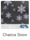
Thursday Night, Feb 11: A 40%chance of snow, mainly after midnight. Cloudy, with a low around 23. East northeast wind around 7 mph. New snow accumulation of less than a half inch possible.

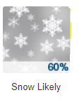
Friday, Feb 12: Snow likely, mainly after 5pm. Cloudy, with a high near 31. Wind chill values between 19 and 24. Southeast wind around 5 mph. Chance of precipitation is 60%. New snow accumulation of less than one inch possible.


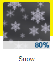
Friday Night, Feb 12: Snow. Low around 25. Wind chill values between 17 and 22. East southeast wind 5 to 8 mph. Chance of precipitation is 80%. New snow accumulation of 2 to 4 inches possible.
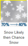
Saturday, Feb 13: Snow likely, mainly before 11am. Cloudy, with a high near 34. Calm wind becoming southeast around 5 mph. Chance of precipitation is 70%. New snow accumulation of 1 to 3 inches possible.
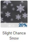
Saturday Night, Feb 13: A 20 percent chance of snow. Mostly cloudy, with a low around 28.
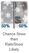
Sunday, Feb 14: A chance of snow before 5pm, then rain and snow likely. Mostly cloudy, with a high near 38. Chance of precipitation is 60%. New snow accumulation of less than one inch possible.
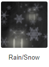
Sunday, Feb 14: Rain and snow. Cloudy, with a low around 34.
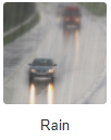
Monday, Feb 15: Rain. Cloudy, with a high near 42.

Author: Mario Lotmore