


SEATTLE — A twin-engine Embraer 170 flew 4 hours and 23 minutes over the open Pacific this summer (exact date was not disclosed) without GPS, using quantum sensors to read Earth’s magnetic field and stay on course from Washington state’s Puget Sound to southern Alaska and back, the Defense Innovation Unit announced on September 4.

“This is a significant win for the department’s quantum sensing priorities, showcasing that MagNav capabilities are no longer a distant research goal,” said Kyle Norman, deputy director of DIU’s Kill Web portfolio. “We moved from problem sourcing to solicitation to prototype in a matter of months.”



Officials said the MagNav (Magnetic Anomaly Aided Navigation) prototype, built by Honeywell Aerospace, improved position accuracy by 89% compared with traditional backup navigation methods such as inertial sensors that drift over time. Navigation data streamed in real time to pilots on ordinary tablets, so the system could be fielded without a full cockpit redesign.
The route began in the Puget Sound region around Seattle, one of the country’s busiest aviation corridors. Officials chose that path because the ocean surface is a severe test for any GPS alternative: featureless, shifting and free of the rivers, highways and cities that older backup methods use as references.




The MagNav effort grew out of DIU’s “Transition of Quantum Sensing” program, launched in spring 2024. Honeywell was selected to build the prototype from 72 applicants. DIU and Honeywell now plan a follow-on demonstration later this year on a U.S. Air Force C-17 Globemaster III, a larger military transport that would put the sensors in a more operational setting.


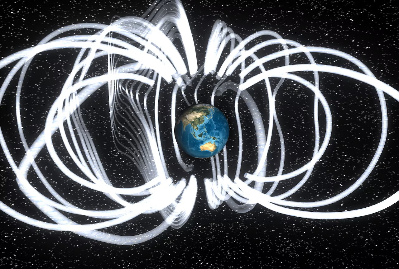
Magnetic navigation is not new in concept. Geologists have long mapped crustal magnetic anomalies — small, stable variations caused by magnetized minerals in Earth’s crust. Quantum magnetometers exploit the fact that atoms, or certain defects in crystals, change state in response to tiny magnetic fields. In one common approach, lasers probe a cloud of atoms whose spin or energy levels shift with the surrounding field. The result is a measurement far more sensitive than a conventional compass.


MagNav treats those variations like a map fingerprinting the differences from place to place. The quantum sensors measure the local field and software then matches the reading to a stored magnetic map and then estimates the geospatial position after the magnetic noise from the aircraft itself is filtered.
This method does not transmit a signal that an adversary may detect, jam or fake the way satellite navigation can be jammed or spoofed.
Officials said the MagNav technology is only intended as an additional layer, not a replacement for satellites: a way to keep an aircraft’s estimated position from wandering when the satellite picture goes dark. However, this would result in a highly more advanced stealth aircraft allowing military transports and patrol aircraft flying long Pacific routes to navigate in contested airspace without detection.

Author: Mario Lotmore




One Response
Excellent